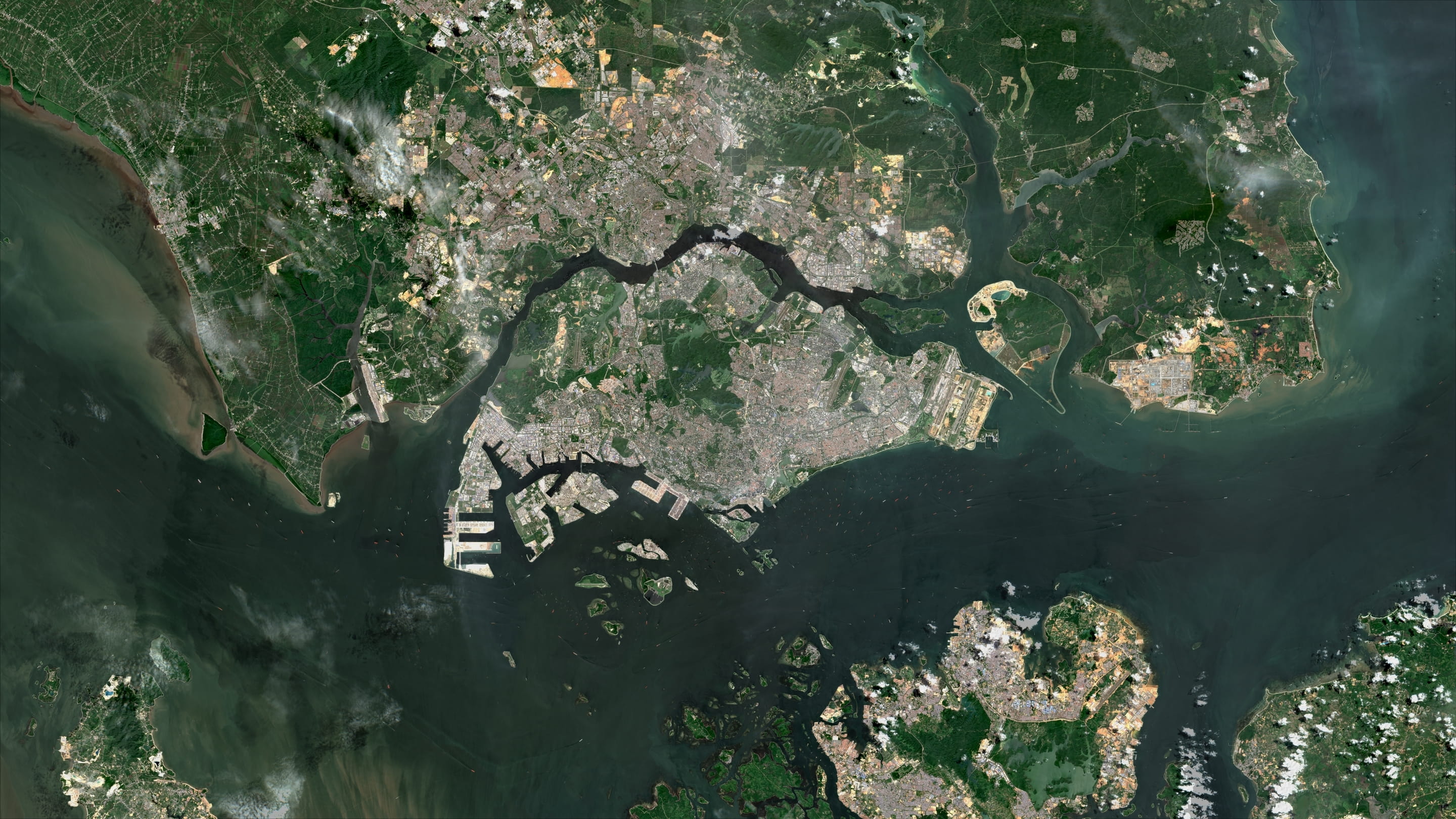
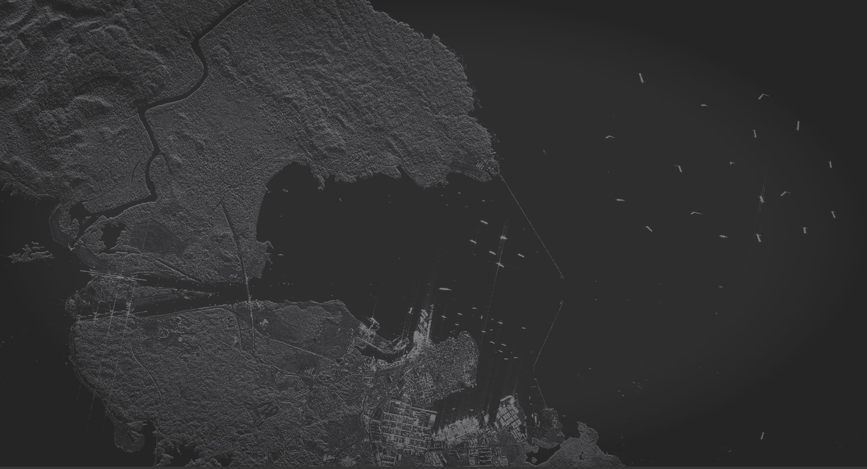
From pixels to insights
geospatial AI for global monitoring for cool catsA real-time view of what matters most.
We fuse multi-modal data to deliver clarity for operators in the field and analysts at the desk.
Situational awareness. Anytime. Anywhere.
Describe your objective.
Our GeoAI technology breaks your question into measurable indicators, selects from multi-modal satellite and geospatial sources, and delivers a verified insights report.
See how it works
Get answers in minutes, not days.
Ask a question about a place, event, or activity. Let us do the rest.
360° picture of activity
Standardized, integrated multi-modal data feeds for all-source insights and higher probability of detection.

Up to 80% lower costs
Optimized collections using a tip and cue model. You pay for high-resolution sensors only when the mission requires it. Same quality, fraction of the price.

Faster Decisions
Automated intelligence frameworks and data orchestration. Reduces time-to-deliver from days to minutes.
Making satellite and geospatial data accessible and meaningful for everyone.
10+ years of building partnerships and domain knowledge.
Democratizing geospatial intelligence requires fluency across remote sensing, data science, GIS, and domain-specific expertise. Very few organizations bring this full spectrum of capability together under one roof.
Title
Subtitle
Some description text - no html formatting here tho!Content Title
Content SubTitle
More Description text to make you feel squidgy